Summer of '67
Turning raw lake data into really lovely design for a Minnesota family reunion

Design: Apparel Graphics, Lake Bathymetry
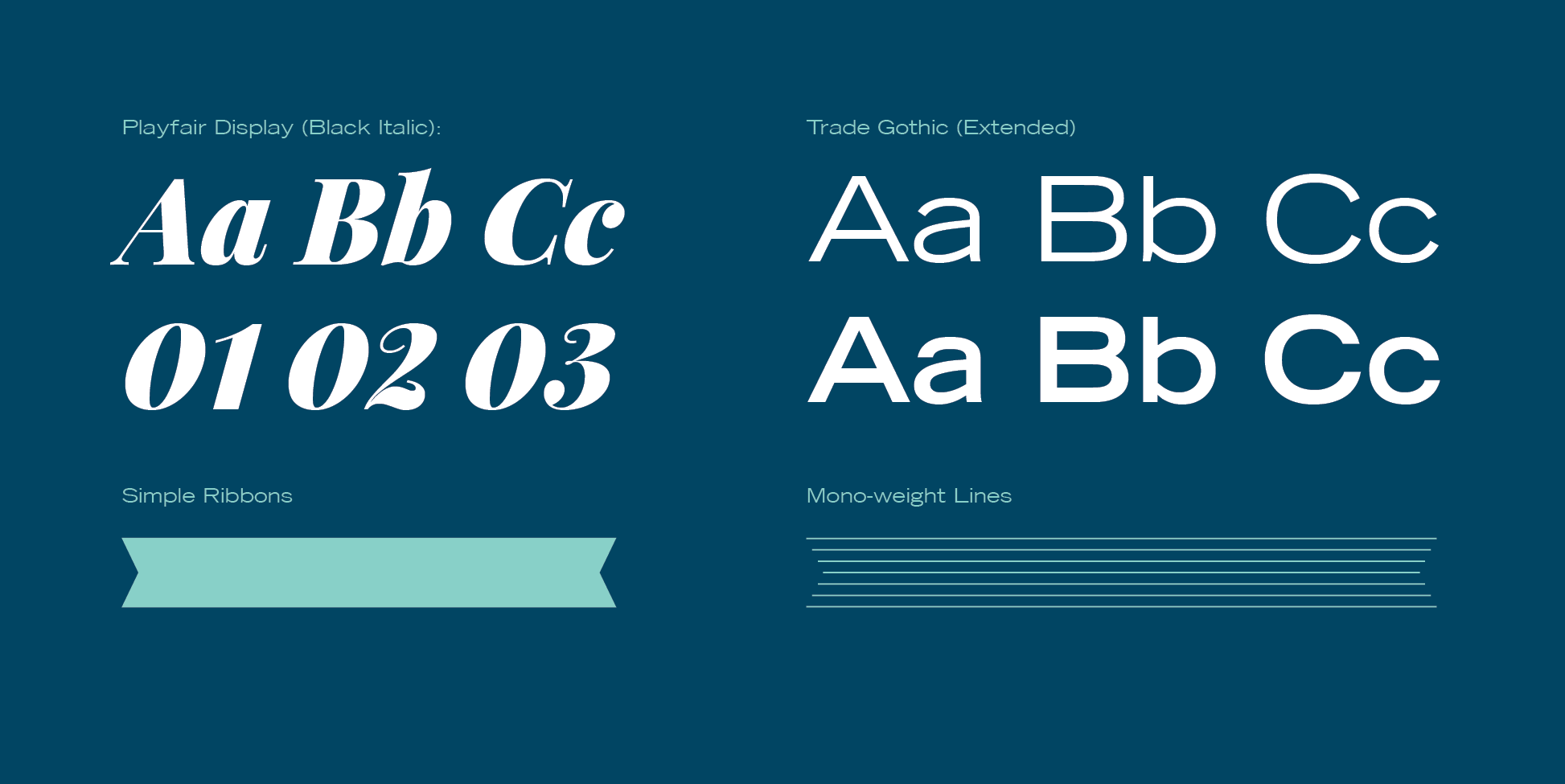
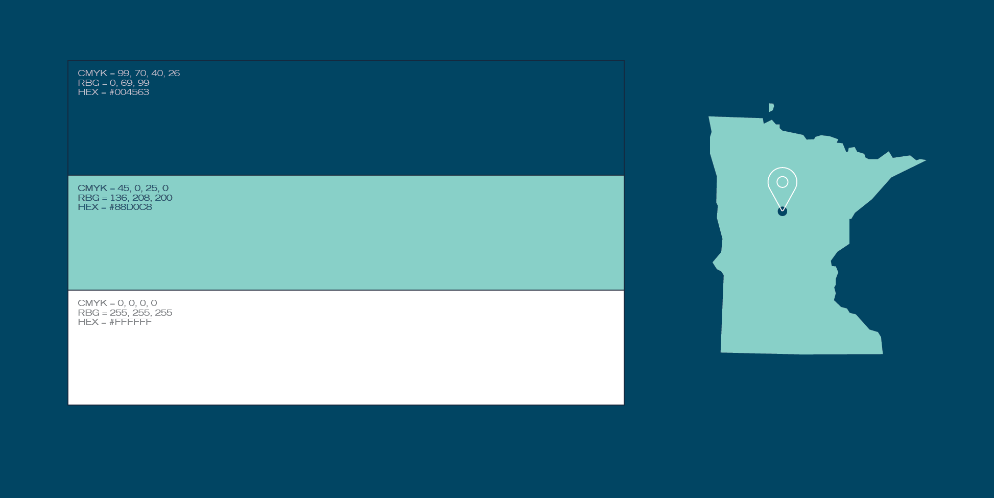
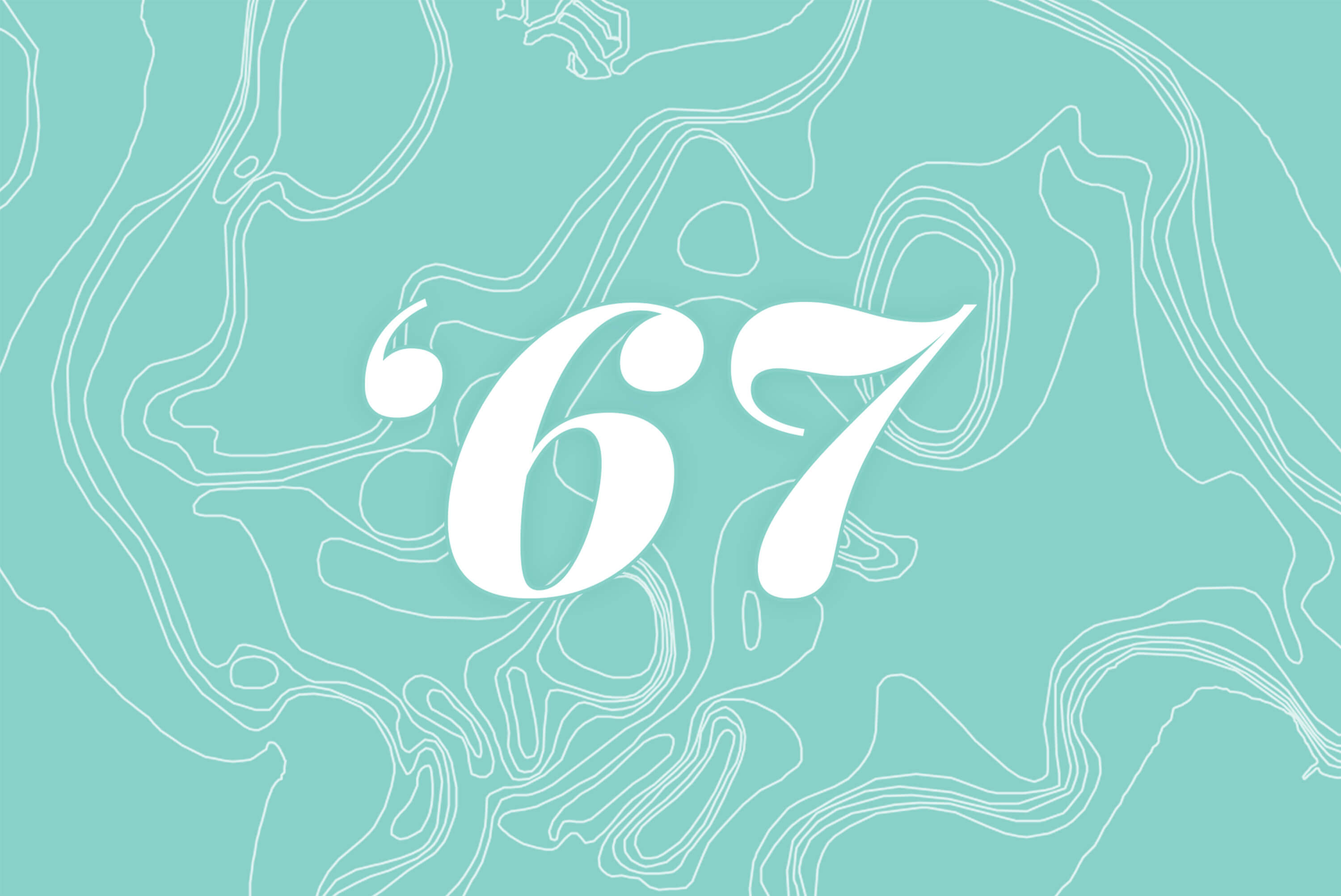
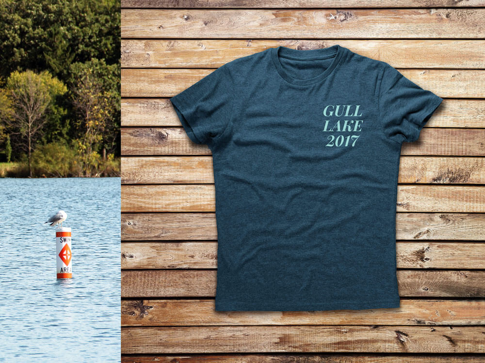
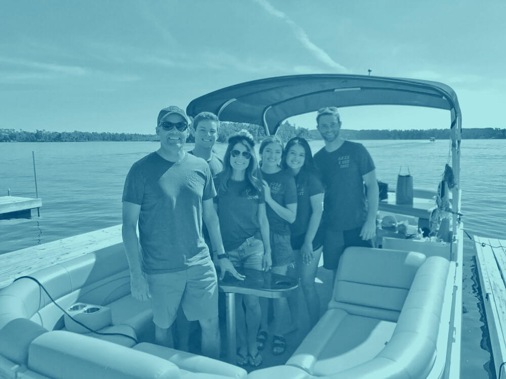
The Prices wanted something special to commemorate returning to a favorite childhood lake. I researched and mapped lake bathymetry linework from the Minnesota Department of Natural Resources to create a design that captured the entirety of Gull Lake, MN. These graphics were easily applied to shirts, totes, and invitations. The entire Price crew had a wonderful time and looked really adorable in their matching gear!
- MnDNR GIS data
- Illustrator
- MN pride
ba·thym·e·try (noun)
—
Bathymetry is the study of “submarine topography,” or the depths and shapes of underwater terrain. Using this data is a science-y way to show the exact footprint of the lake and requires the ability to analyze and manipulate georeferenced materials.
